Azerbaijan trail explorer
Nine climates.
Endless trails.
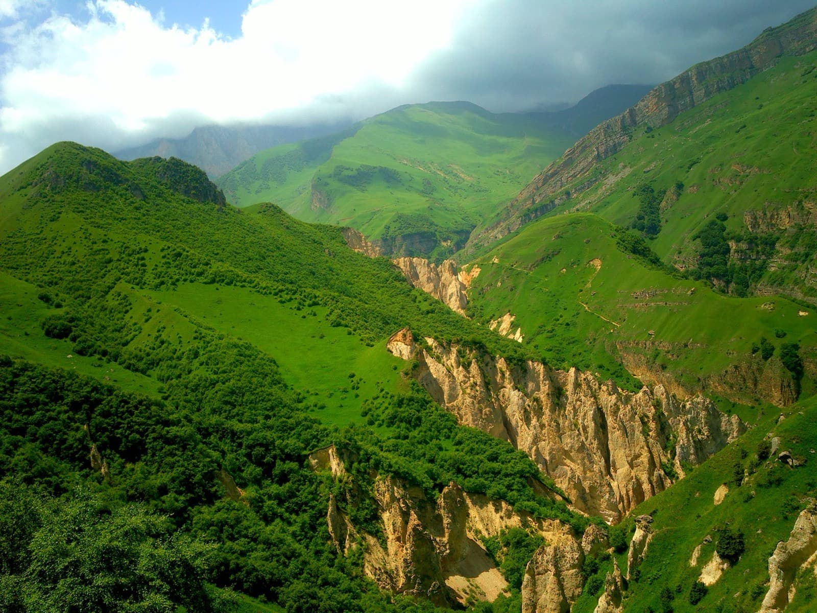
Mapped hiking routes, waterfalls, lakes and summits — from the Greater Caucasus to the Talysh hills. Every fact links back to its open-data source.
- mapped trails
- 19
- mapped trails
- places
- 78
- places
- regions
- 9
- regions
- km of routes
- 611
- km of routes
Mapped routes
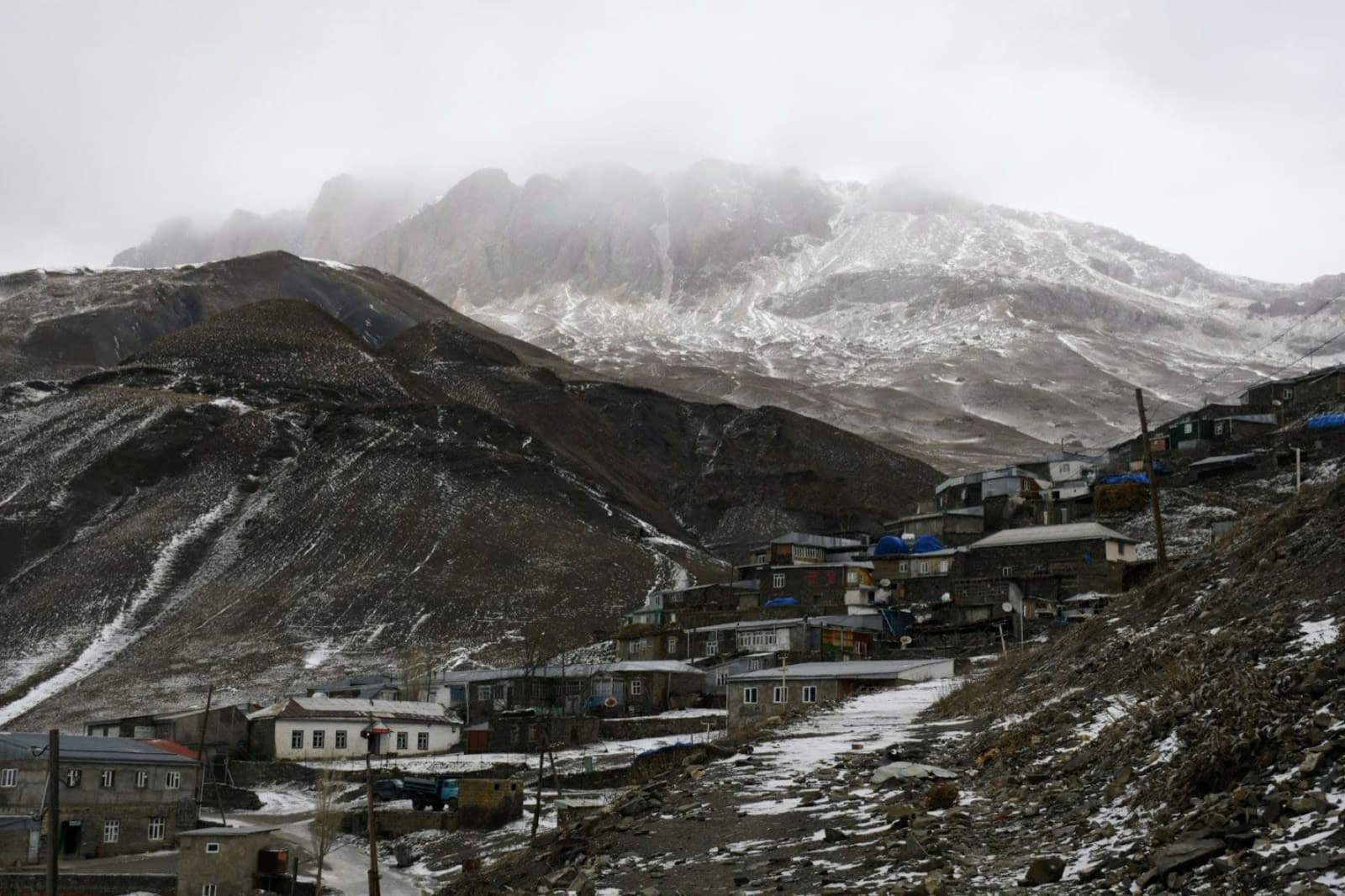
Trails worth the drive
Routes traced by the OpenStreetMap community, measured from the map and profiled with satellite elevation data.
By region
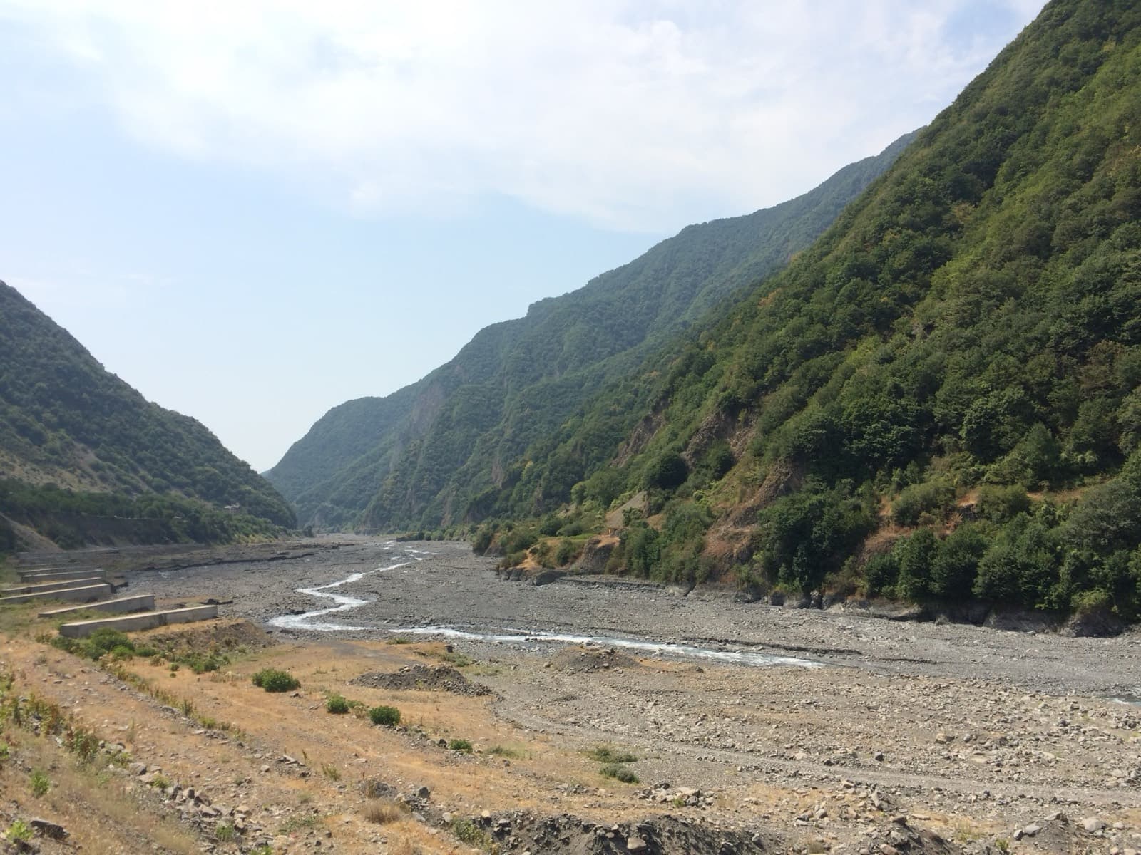
Where do you want to wander?
Azerbaijan's 14 economic regions. Pick one to see its trails and places.
Places
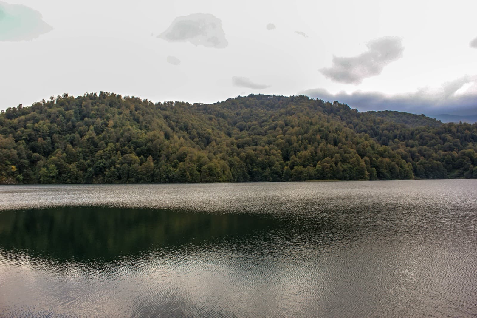
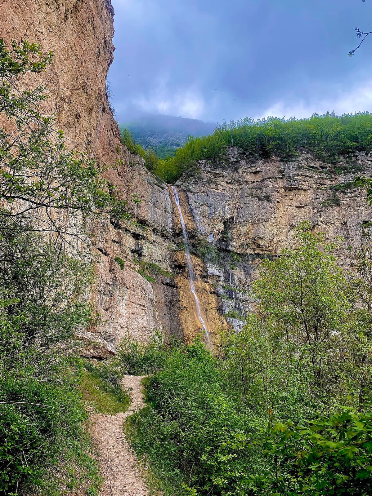
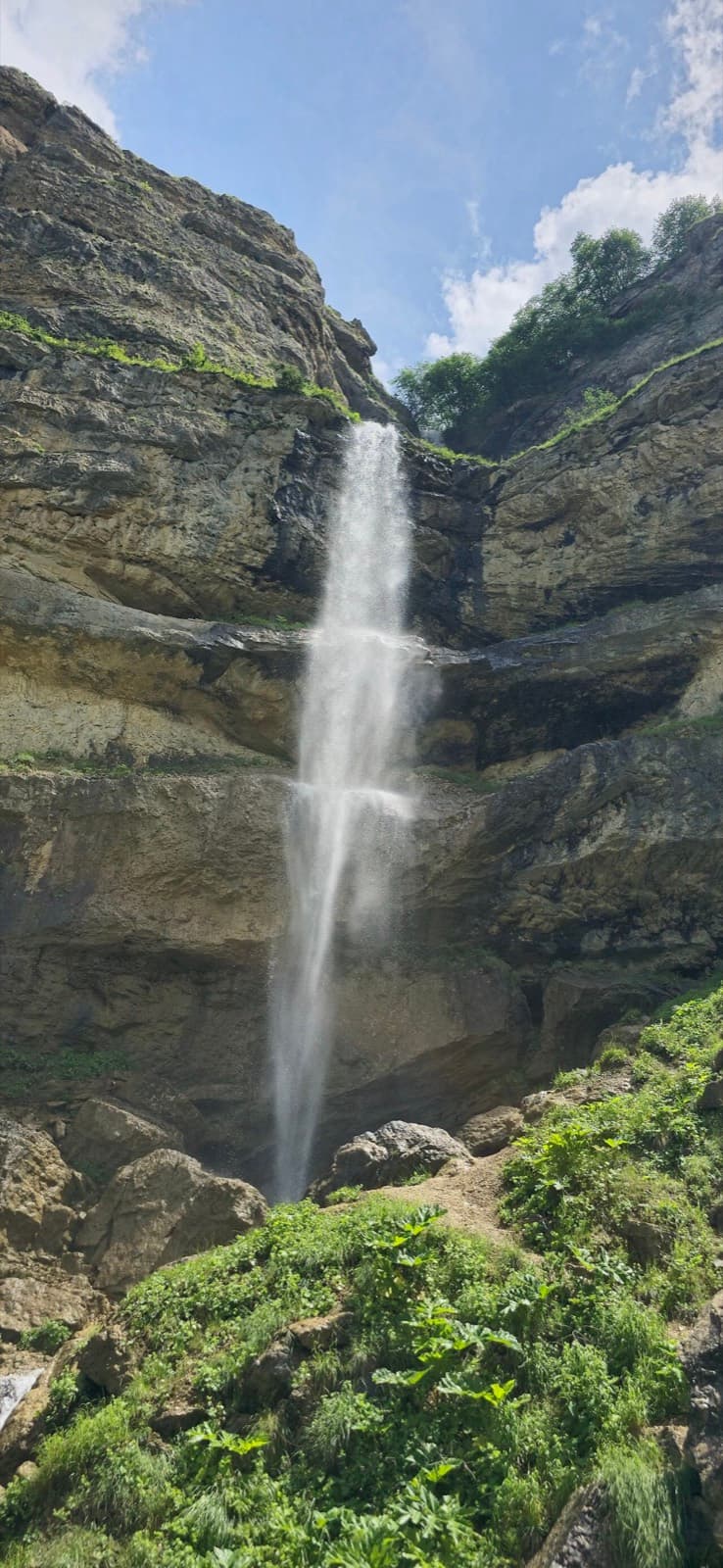
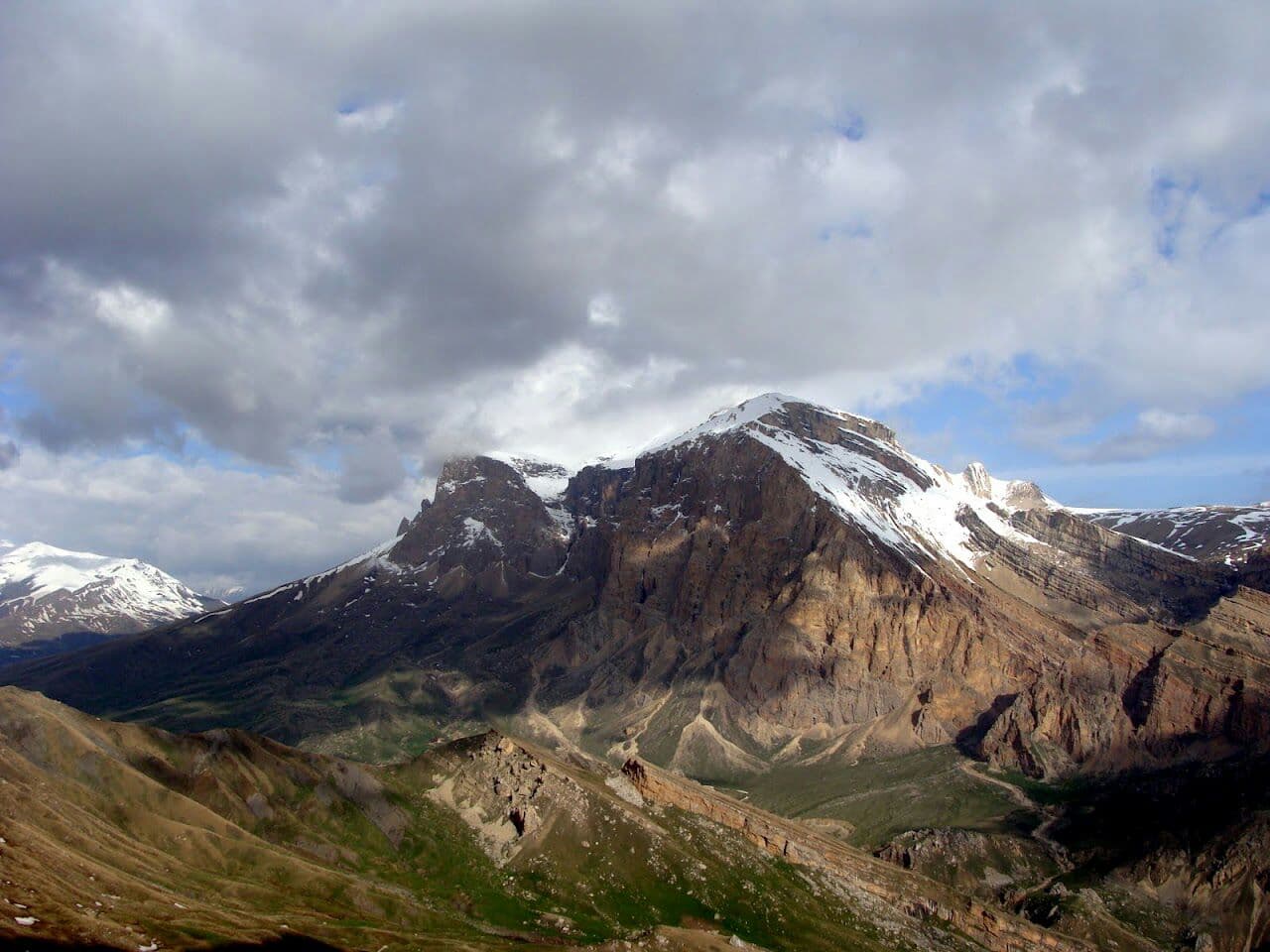
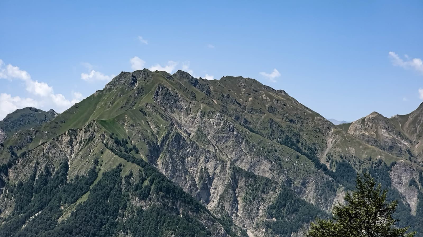
Waterfalls, lakes and summits
Named natural landmarks from OpenStreetMap and Wikidata, with photos from Wikimedia Commons.


Plan your route
Every route on one map
Trace mapped trails, spot waterfalls and peaks nearby, and open any point in Google Maps for directions.
Open the mapEco-challenges
Leave it better than you found it
Azerbaijan's wild places are fragile and getting more visitors. Small habits keep them beautiful for the next hiker — and for the villages that live alongside them.
Pack it out
Carry out every wrapper and bottle — and one piece of someone else's litter.
Refill at springs
Bring a bottle and refill where locals do instead of buying plastic.
Stay on the path
Shortcuts erode slopes and meadows that take years to recover.
Buy local
Honey, cheese and tea from village families keep tourism money in the mountains.
Go with a local
Are you a guide or tour operator?
We're building a directory of verified local guides and agencies. Apply to be listed — it's free.
Know a trail we're missing?
Share your route, photos and tips. Every submission is reviewed before it goes live for other hikers.
Share a trail