- Distance
- 14 km
- one way
- Walking time
- 4 h est.
- Ascent
- +791 m est.
- Highest point
- 1,764 m est.
- Route
- One way
Overview
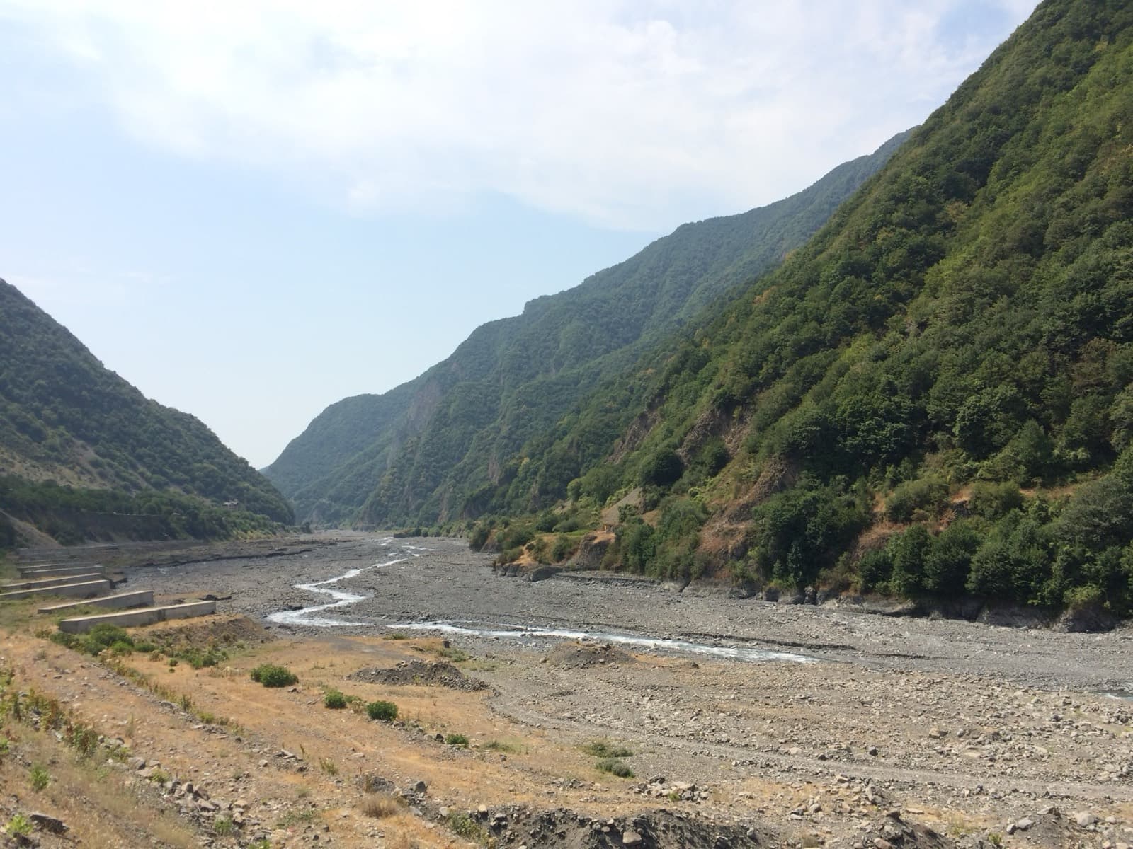
A 14 km one way route in Oghuz, climbing 791 m to a high point of 1,764 m.
The Transcaucasian Trail (TCT) is a long-distance hiking trail under development in the Caucasus through the nations of Georgia, Azerbaijan, and Armenia. It was named one of the world's "100 Greatest Places" by Time magazine in 2019.
Elevation profile
SRTM 30 m elevation sampled along the mapped line.
Difficulty: Hard — Long days and steep ground
Estimated from distance and ascent (1 km + 1 km per 100 m climbed).
Computed from the mapped route and SRTM elevation data. Walking time uses Tobler's hiking function; your pace will differ.
Reviews
No reviews yet — be the first to share how it went.
Sources
- OpenStreetMap relation 13712375 ODbL 1.0
- Wikipedia (en): Transcaucasian Trail CC BY-SA 4.0